


Mapping the Pandemic: New Features to Google Maps
Technology has become increasingly important throughout this pandemic. It has kept us connected with family, friends, and has even provided new ways of getting groceries, eating at restaurants, and attending school. As technology is always updating and we continue to be in need of practicing social distancing, new features created by Google Maps will come in handy.
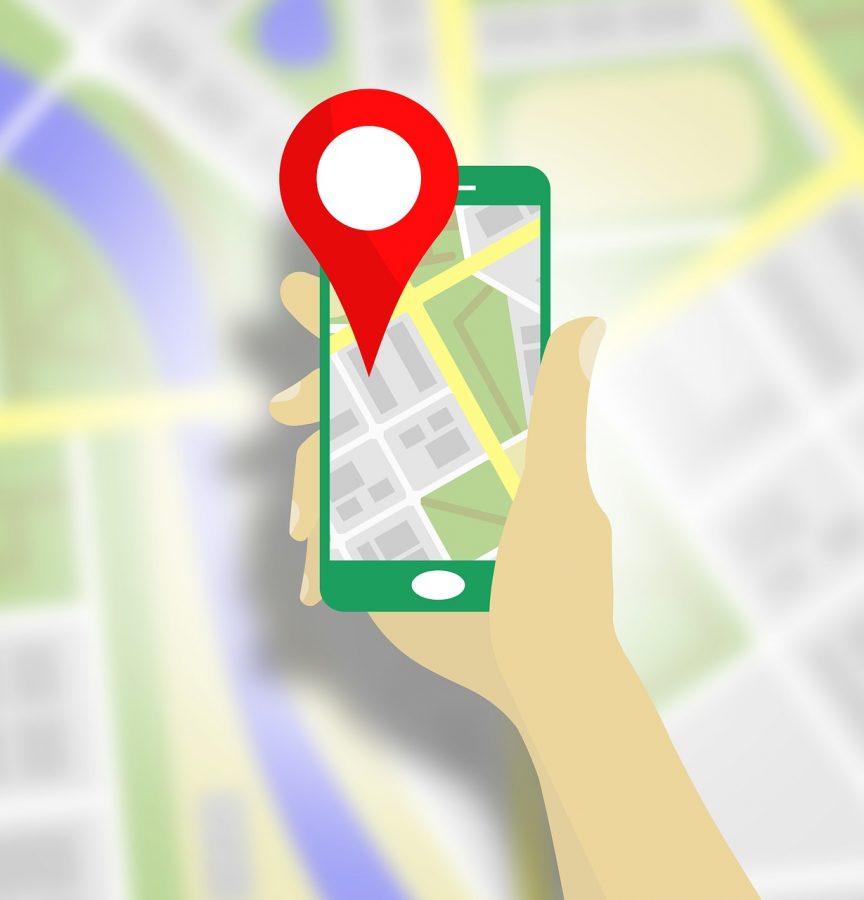
Google has added a new layer to its mobile app that you can use to view different items related to the COVID pandemic. According to the Google Maps Help page, these include pinpointing testing facilities, cases per 100,000 people in an area, up-to-date business hours and/or closures, travel restrictions, restaurant accommodations, and online booking opportunities.
To use this layer’s features, you must first go to the Layers button in the app and select COVID-19 info. You will then see different colors on the map based on the cases per 100,000 people in the area you are viewing. Google’s help page provides a key to the colors and their corresponding case numbers which are as follows: Grey: less than one case, Yellow: 1 to 10 cases, Orange: 10-20 cases, Dark Orange: 20-30 cases, Red: 30-40 cases, and Dark Red: 40+ cases. With these differentiations, it is easy to recognize current risky areas and avoid them.
Keeping up with all of the closures and movements of businesses during this time is challenging, even for Google. That’s why the Google Maps app allows you to mark businesses as closed, temporarily closed, or moved. From instructions on the help page, it is easy to contribute helpful information to the map to keep it current and accurate. By selecting a specific business you can “suggest an edit” and choose “close or remove” and provide the reason- whether it is a temporary closure, full closure, or movement to a new location.
When dealing with transit, Maps is providing alerts for areas with government mandated mask usage or government mandated checkpoints or border restrictions. These features will be increasingly useful as the response to this illness continues to vary by state. Also, there may be information available on crowds in a station giving you knowledge before you go on how many people there may be.
For restaurants, hours, and accessibility have changed. The app has restaurants posting their latest COVID-19 updates to inform the consumer about hours, limited menus, etc. To locate establishments with takeout or delivery options, you can either enter these two terms into the search bar or select them from a menu located under the search bar to limit your results to restaurants offering exactly the kind of grab-and-go dinner you were looking for.
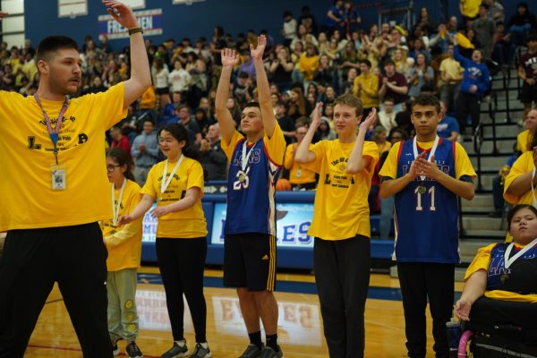
Online classes and appointments have become common practice and are now easy to know where they can be booked on Google Maps. When searching for a specific kind of lesson or instruction, businesses with updated profiles will show with a green checkmark if they are available for online appointments. Speaking of online classes, schools can use this technology to monitor case trends in their area to maintain safe practices such as determining if contact sports can be played during this pandemic.
In a world with a lot of dependence on technology, it is nice to see the changes to help the public remain safe and secure. With these updates to Google Maps, anyone can feel more informed and have easier access to businesses and restaurants’ most current information, providing the consumers with a better understanding of how their routines will be impacted. You can find more instruction and information on these updates and other improvements to the app on the Google Maps Help Page.